Grand Forks-East Grand Forks MPO unveil complete 2050 transportation plan

GRAND FORKS - After two years of work, the Grand Forks - East Grand Forks Metropolitan Planning Organization has its 2050 Street and Highway plan nearly complete. The last steps are to have final approval and necessary ordinance changes in Grand Forks and East Grand Forks, final approval from the MPO executive board, then it's off to the states of Minnesota and North Dakota for their approval and eventually, the Federal Highway Administration and Federal Transit Administration before the plan fully goes into effect. Once in effect, the 2050 plan will be used by the cities of Grand Forks and East Grand Forks to guide and inform their transportation planning and project decisions for the 25-year planning horizon.
Throughout the process, the MPO has held public open houses, council presentations, and an online comment portal for the plan. "This is the first (time) that we've really had more of survey-type format for this particular plan," said Teri Kouba, senior planner at the MPO. "COVID really amped up that ability and desire to use online services like public comment forms and we've really wanted to add that to our arsenal. We know that not everyone can come to the meetings when we have them."
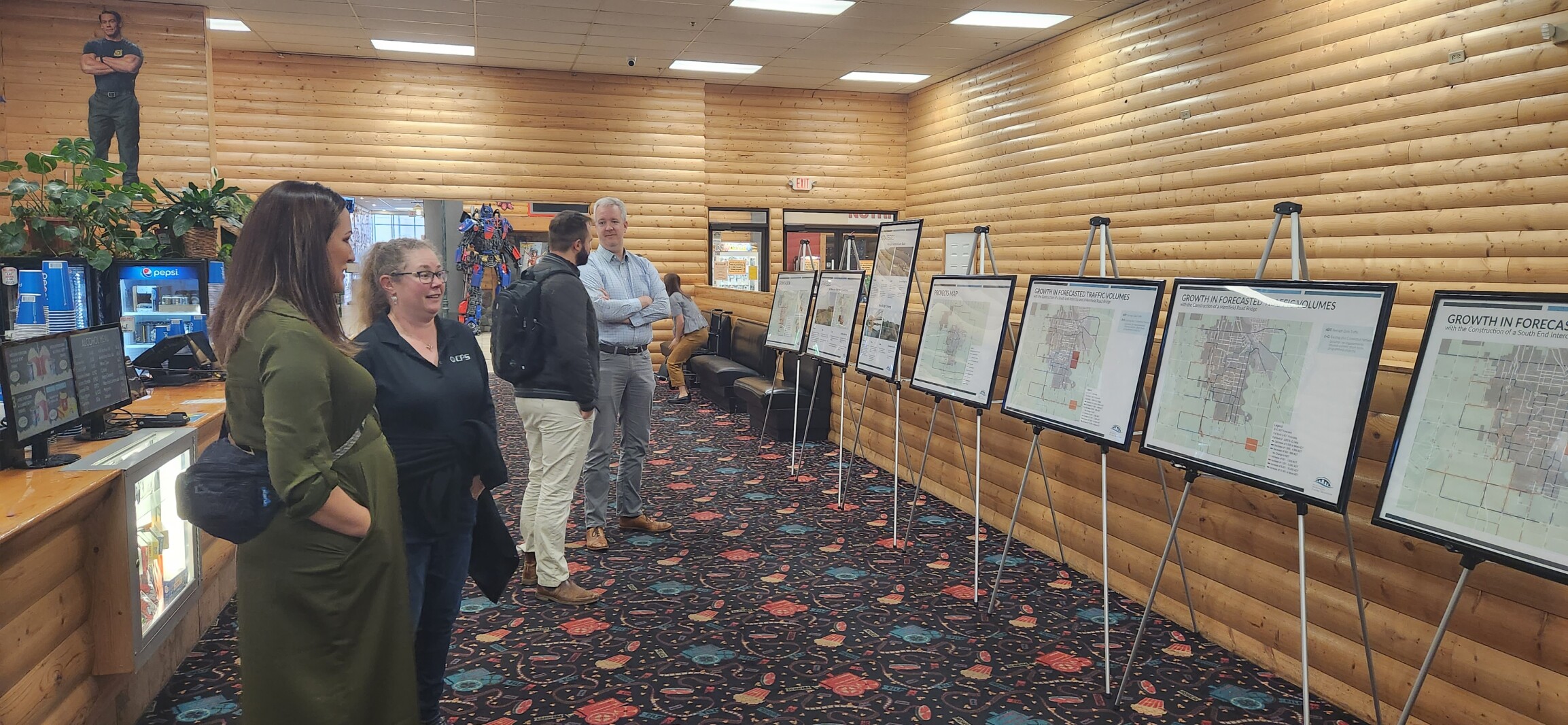
Members of the public were able to comment, see traffic studies, proposed projects and talk to MPO staff about the plan.[1] The public will also be able to comment again during the Grand Forks Planning and Zoning Commission meeting on Dec.
6 and the East Grand Forks Planning Commission meeting on Dec.
13.
ADVERTISEMENT The 131-page plan covers topics ranging from how many households in Greater Grand Forks own cars (8% don't have a vehicle) to funding strategies and near every transportation topic in between. The plan is broken into several chapters about demographics, traffic studies, trends, funding and compliance.
When asked what areas of traveler safety they are most concerned about, respondents to the MPO's survey said a top priority is improving pavement conditions and updating traffic signal timings. Respondents were also concerned about distracted drivers, street and roadway conditions, and intersections. Between 2016 and 2021, most of the intersection crashes occurred at intersections with Washington Street, Columbia Road, 32nd Avenue South, and Gateway Drive.
The intersection with the highest crash frequency was Washington Street and DeMers Avenue, but the intersection of 32nd Avenue South and South 31st Street had the highest crash rate. "This gives us an idea of which intersections we should be looking for us to get ahead of that crash rate," Kouba said. "(For example), maybe we don't have as many crashes (at an intersection) but there's a higher crash rate there's a higher probability that more crashes could happen there." According to the plan, most of Greater Grand Forks commutes to work alone by car.
The average commute is under 15 minutes. Most commuters take Washington Street, Columbia Road, Interstate 29 and Gateway Drive to get to work. Stretches of Columbia Road and Washington Street, especially between DeMers and 24th Avenues, see moderate amounts of congestion, according to 2021 traffic data in the plan.
Without improvements to the road networks, stretches of Grand Forks' busiest roads could be in heavy congestion to complete gridlock by 2050. By 2050, stretches of Gateway Drive, Interstate 29 and major arteries in Grand Forks south of 28th Avenue will see an additional 10,000 trips a day, on average. The increases in trips roughly match where Grand Forks is expected to grow over the next 25 years which is mainly to the south and west of the city.
Throughout the process, the MPO has been working closely with both cities to figure out project priorities and where they're planning to develop over the next 25 years.
ADVERTISEMENT "What are the more important roads to start looking at first? What are the priorities for the cities development and accommodating all forms of transit and transportation?" Kouba said about the questions they ask to the city's about priorities.
The plan estimates that a total of £136.8 million will be spent between now and 2050 on road maintenance in the Grand Forks area between the cities and the states' departments of transportation. The plan also includes a list of projects that are fiscally constrained and are on the 2050 planning horizon. Projects like the 47th Avenue South interchange and DeMers Avenue and 42nd Street South rail underpass project, which are in planning and more illustrative projects, like new Red River crossings.
"(The illustrative projects) have no sources (of funding) like Merrifield Bridge for example," Kouba said, referring to the proposed crossing on Merrifield Road. "We've had studies on that and we're still looking for specific funding sources."
According to Kouba, the plan allows the public to see into the planning process and provide input about the future of transportation in the community.
"The biggest takeaway is that the plan gives the public to opportunity to give their input throughout the whole process," Kouba said. "It also allows for an understanding of engineering as well and all that goes into the whole process of getting a road fixed within the city."